Drongengoedbos walking route
Start
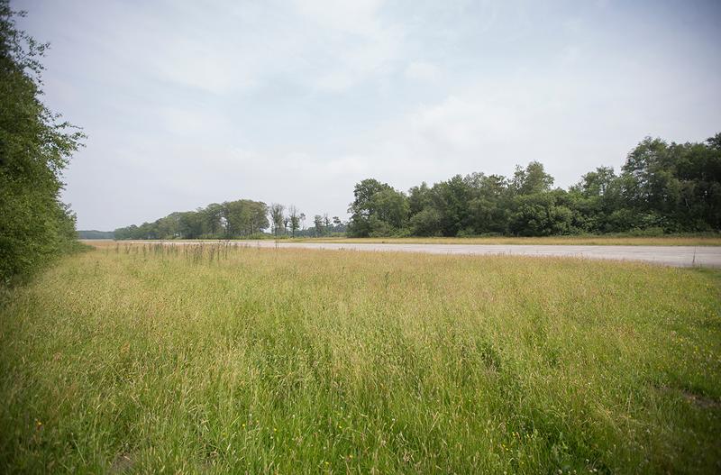
Ursel airfield with air shelter
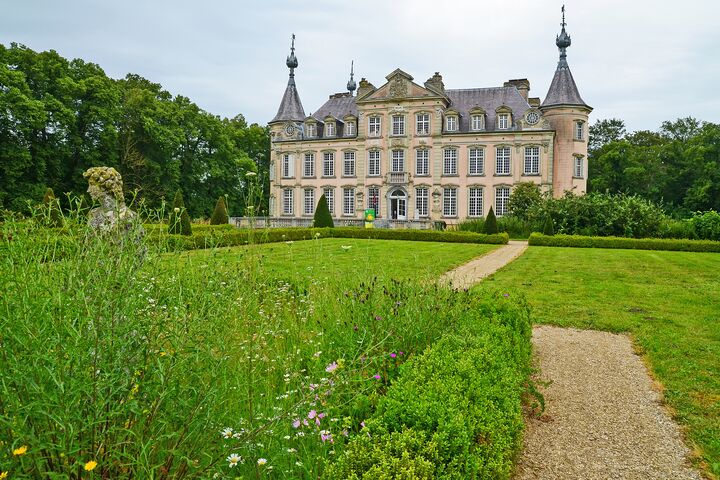
The rural village of Ursel is located in the historical Meetjesland region. It is home to quaint villages, nature reserves and traditional agriculture set amongst flat landscapes. Ursel is a borough of Aalter, known for the beautiful Poeke Castle. Did you know that there is also an airfield in Ursel? Located at the edge of the Drongengoed nature reserve, it was built as a NATO reserve airfield during the Cold War. You can still see the air shelters from that period. The airfield is now a heritage site and recreational aviation centre. The grounds are accessible to cyclists and walkers, with the exception of the airstrip itself.
Bat habitat
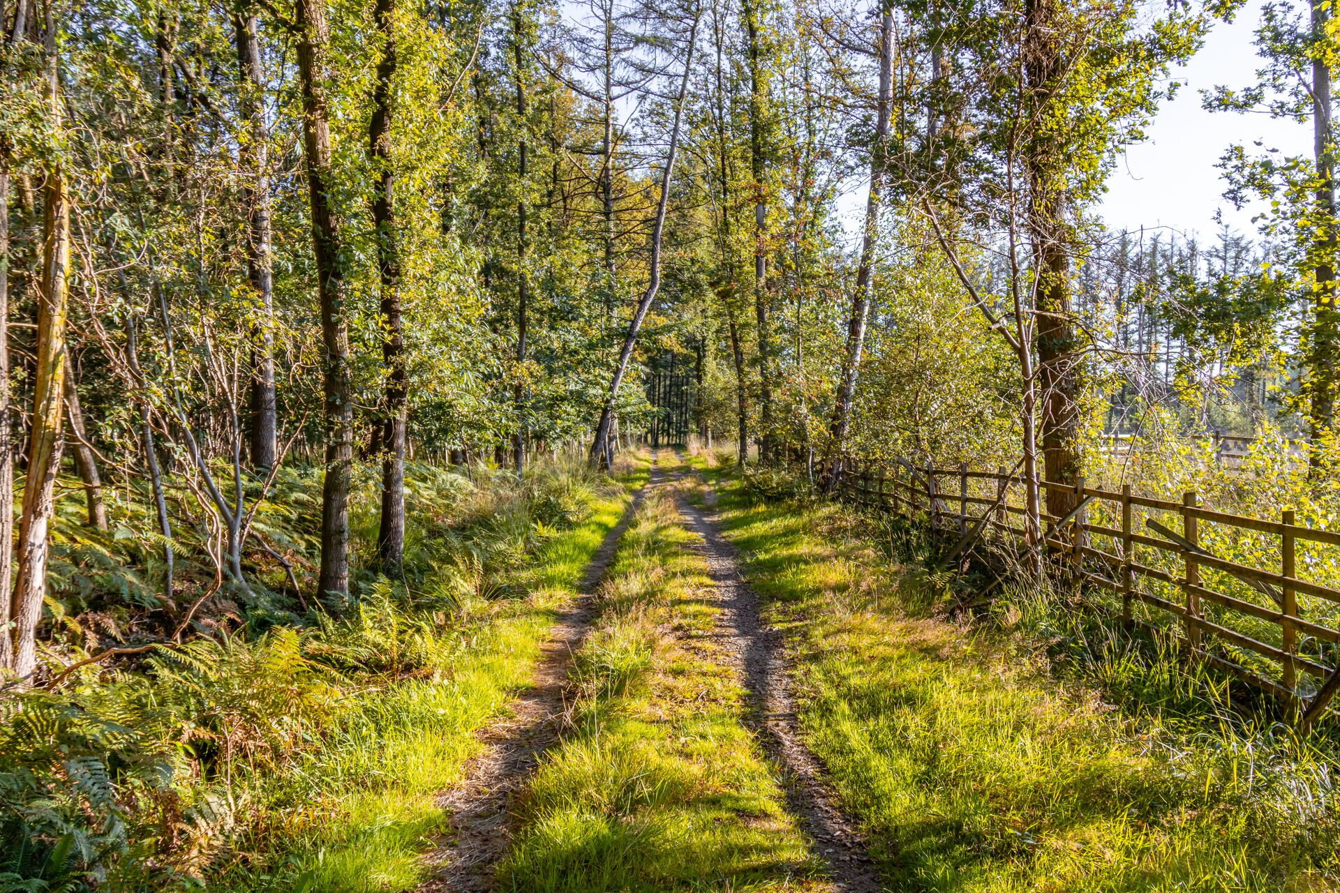
The Drongengoed forest region is a paradise for bats. These flying nocturnal creatures make their homes in the many avenue trees, where they can easily move around. Additional roosts were also installed where the bats can hibernate. Bats are catered to here and it shows! This area is home to as many as nine different species, including the captivating Natterer's bat.
Tip: walk through this area at dusk to have the best chance of spotting bats!
Brugse Heerweg
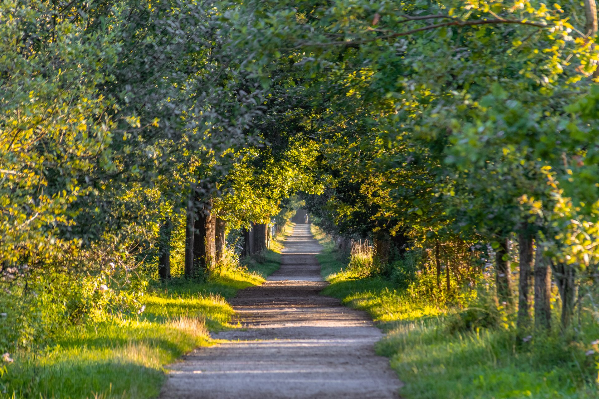
We continue our walk along the Brugse Heerweg. In the Middle Ages, this historic road ran between the towns of Oedelem and Zomergem, connecting Bruges with Ghent. It was a strategically important trade and military route until the 16th century. The route is still visible in the landscape.
Prinsenveld Castle
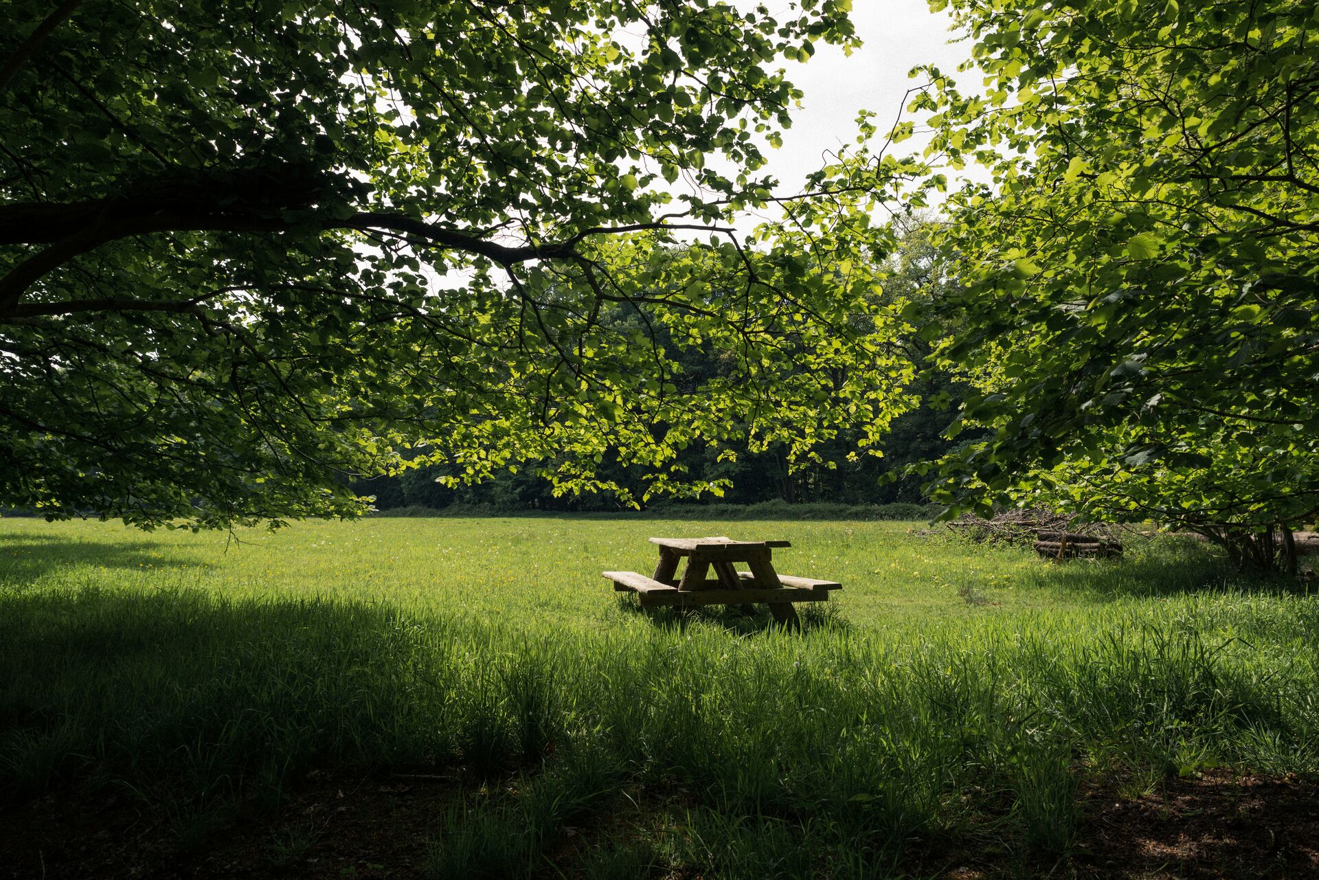
Prinsenveld Castle is located on the border of Ursel and the Drongengoedbos. This is a private estate, but from the public road you can catch a glimpse of the stately 19th-century mansion with conservatories, a farmhouse, caretaker's house and horse stables.
Maldegemveld nature reserve
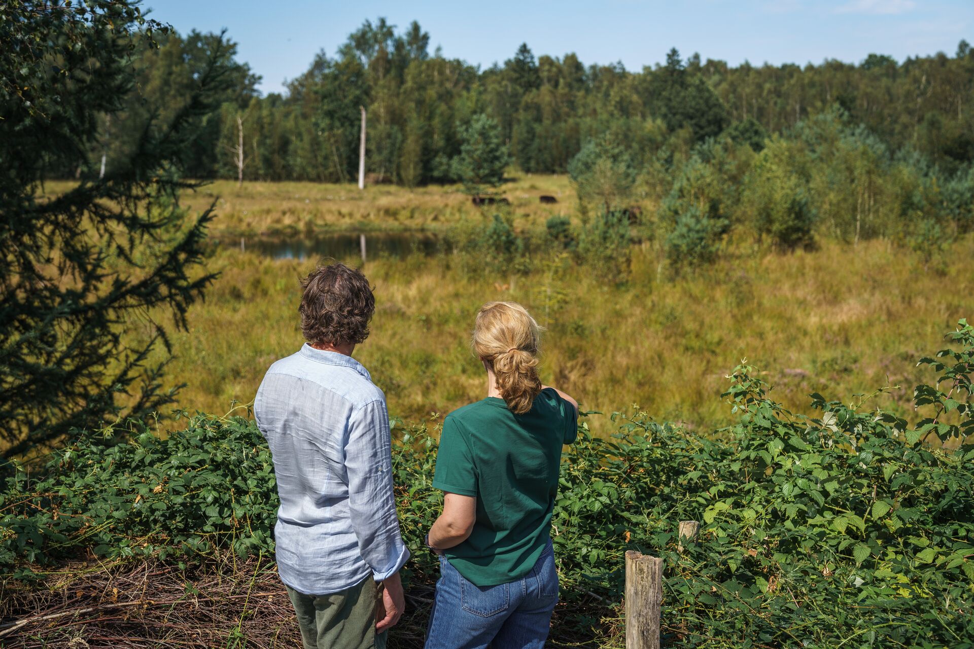
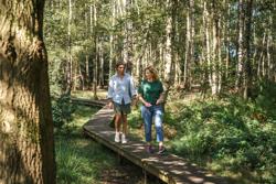
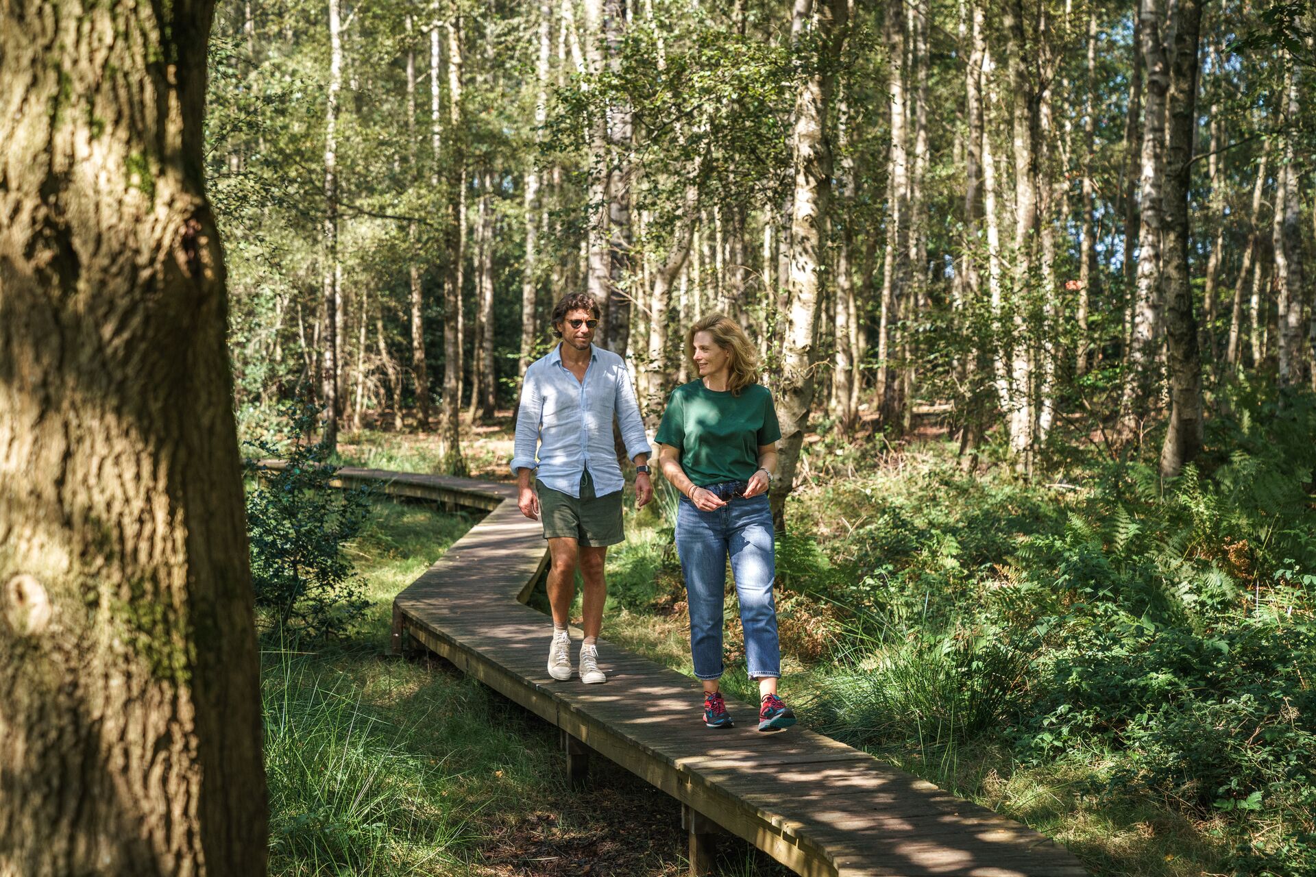
The Maldegemveld - known as 's Herenveld until the end of the 18th century - is a nature reserve where you continue this walk along wooden paths. These elevated paths allow you to keep your feet dry when crossing the sometimes wet heathland and forest edge. You might even see a stag or roe deer on the lookout hill! Or come face to face with the Galloway cattle that graze here on the vast heathlands. What an adventure!
Drongengoedbos
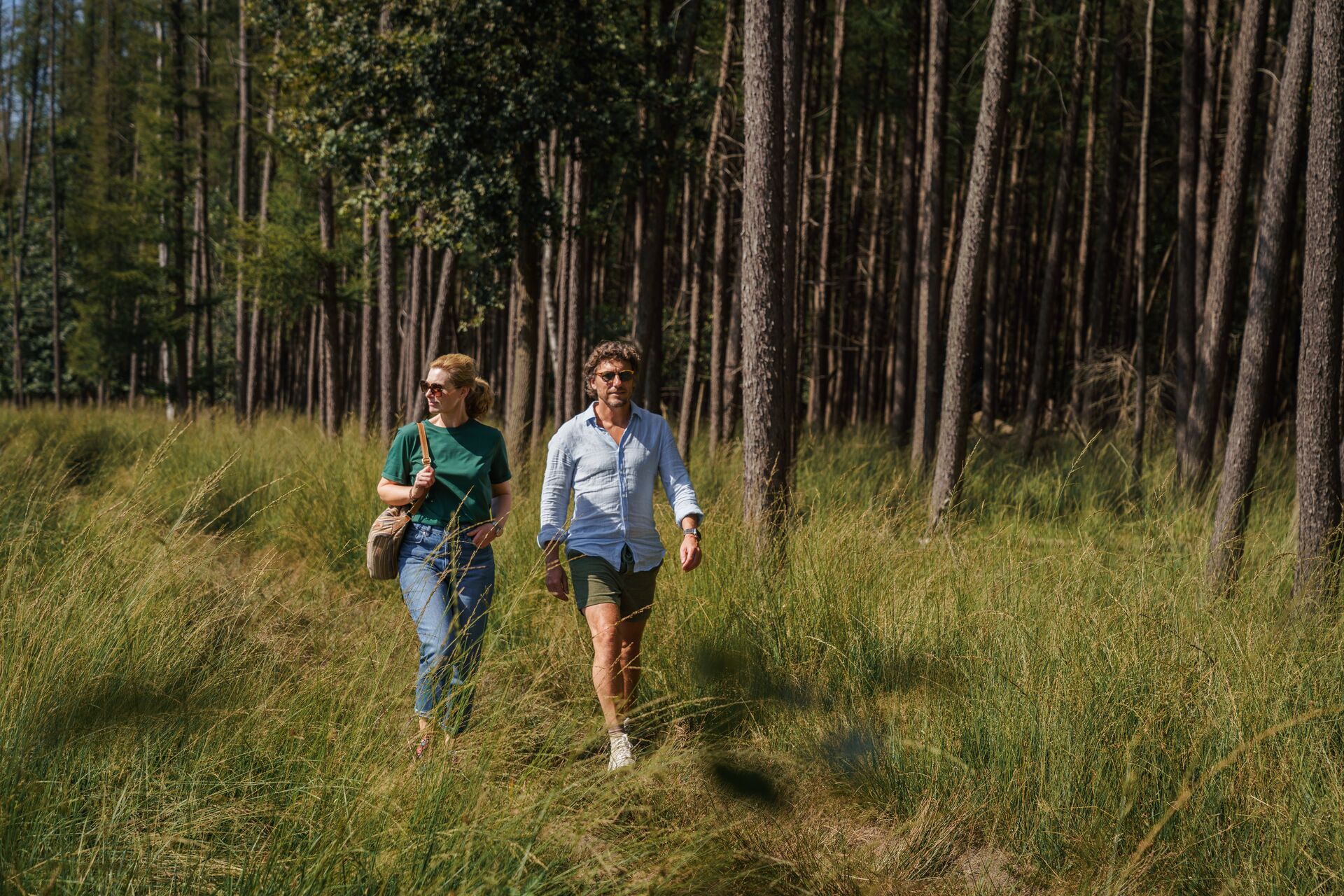
The Drongengoedbos is also all about animals. From April to November, about 200 sheep graze here daily under the supervision of the shepherd. It's not unusual for walkers to see a group of fallow or roe deer. Birds of prey also thrive in this forest. Keep an eye out for buzzards, kestrels, sparrow hawks, tawny owls, long-eared owls and Eurasian hobby falcons.
Arrival: Drongengoedhoeve (Drongengoed farmstead)
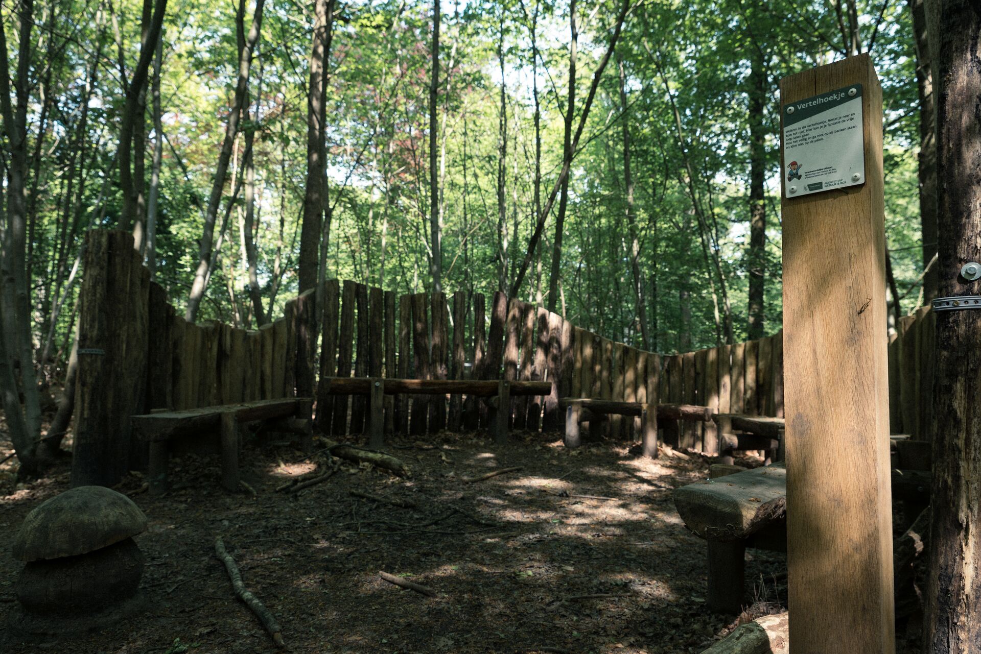
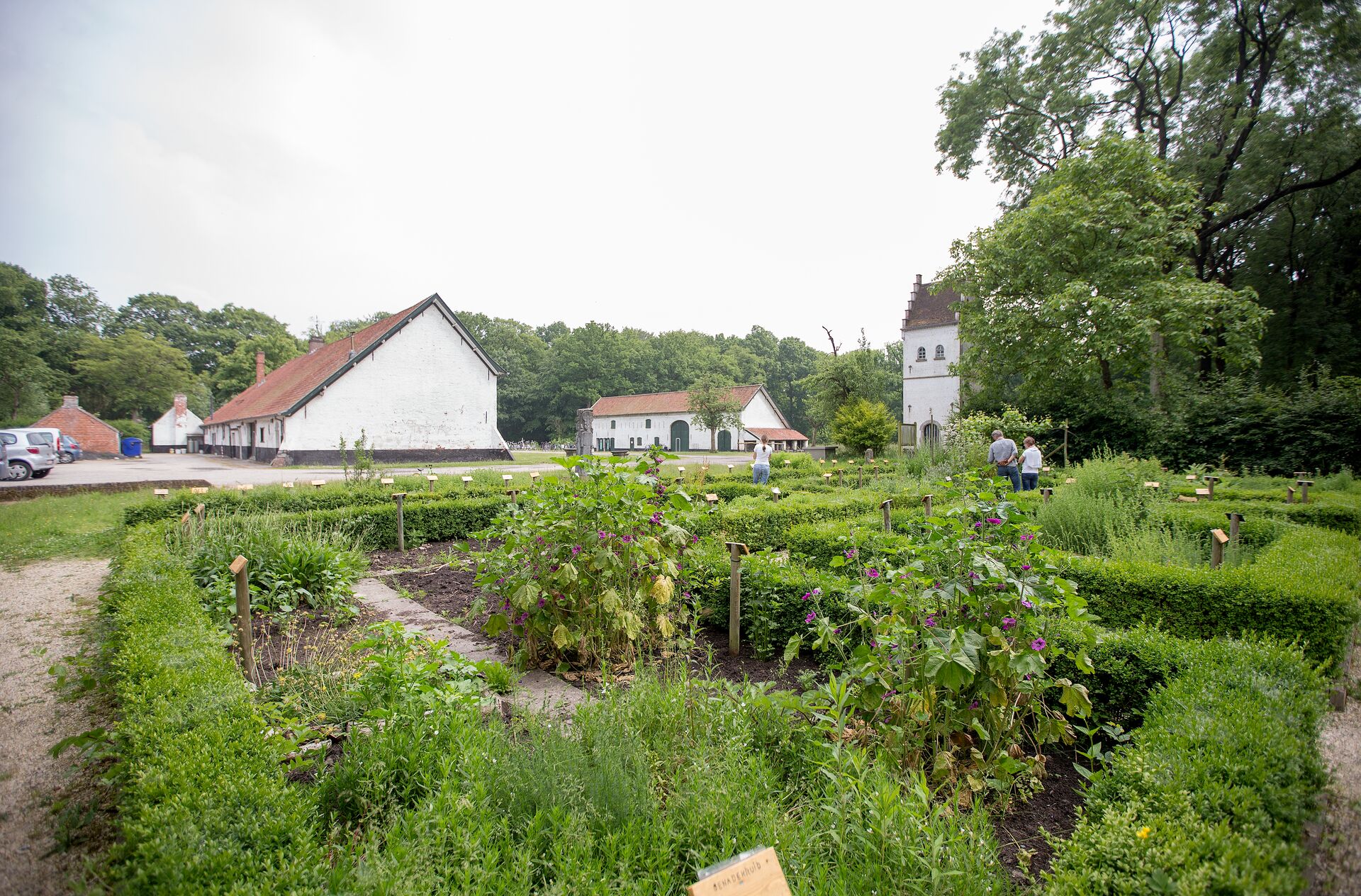
The Drongengoed was an inhospitable heathland for centuries until it was reclaimed in the 13th century. The forest owes its name to the Fathers of Drongen monks (near Ghent) who used Drongengoed farmstead as their base. It is now a visitor centre where you can learn all about the region and how the landscape has evolved over the years. Finish this walk with a refreshing drink in the cafeteria. Around the farmstead are two play areas where children who still have energy left can run around to their hearts' content. [Einde van tekstterugloop]
Finish
